MapaNica, the OpenStreetMap chapter in Nicaragua, is a community of enthusiasts for geodata, free and participatory technologies. Conformed by cartographers, professionals, companies, non-profit organizations, programmers, students of various careers and other citizens, the community gathers at mapping parties to learn to collect geographical information with free applications, and thus map their neighborhood and local urban environment.
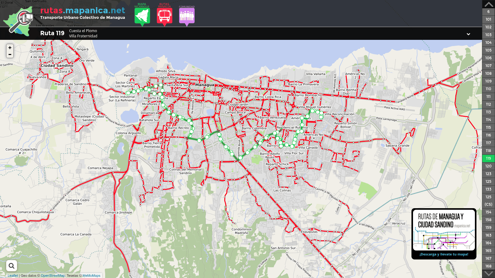
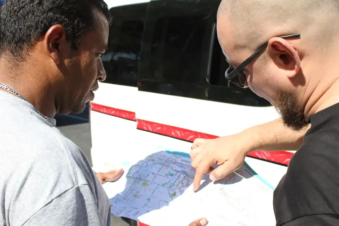
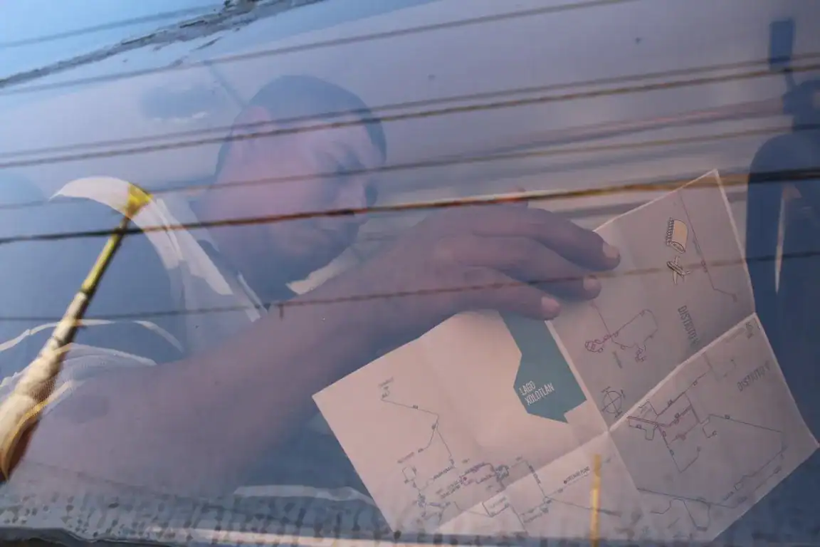
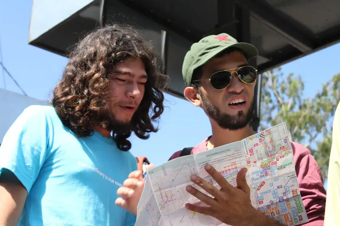
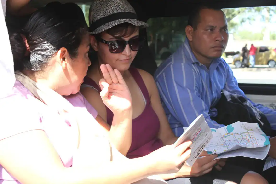
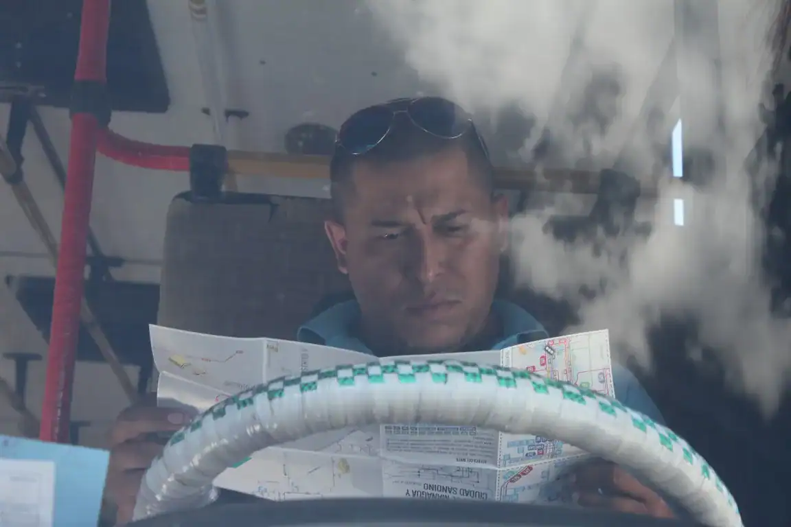
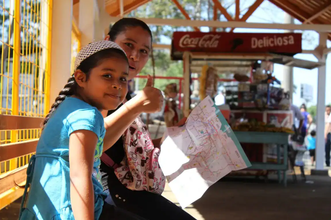
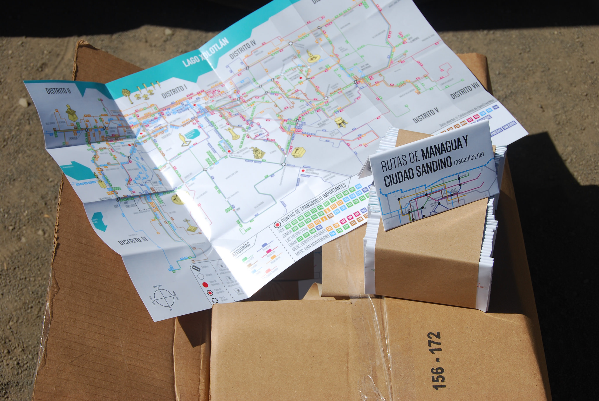
Among its projects, the creation of the urban transport map in Nicaragua stands out. Inspired by the Digital Matatus collaborative project, this was a unique and exemplary innovation venture in which I contributed as a mapper and helped on the interpretative design of printed maps which we later distributed in the city.

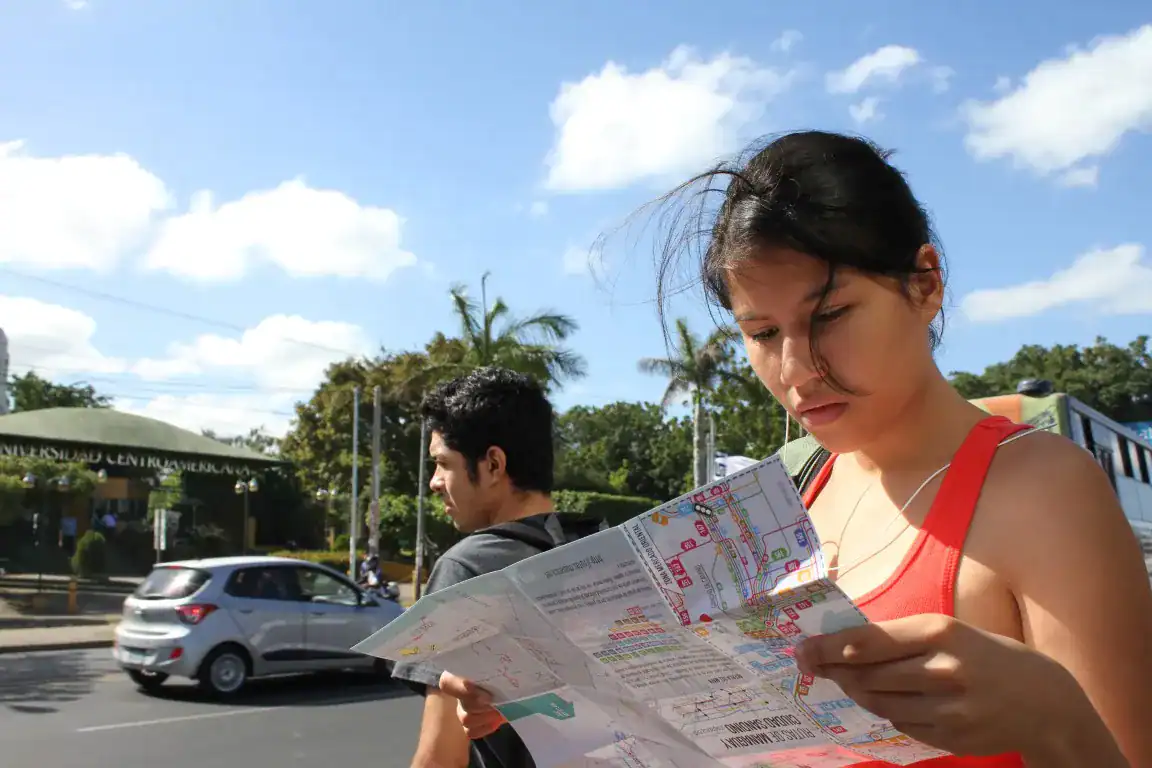
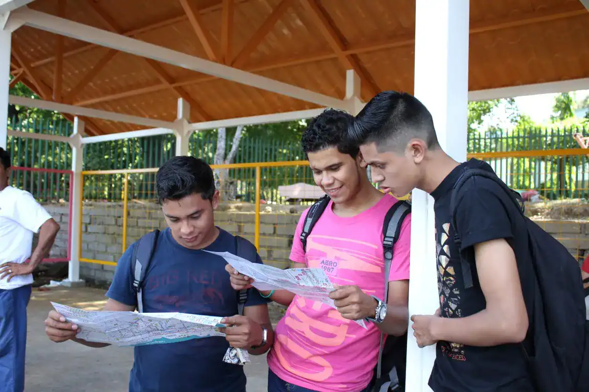
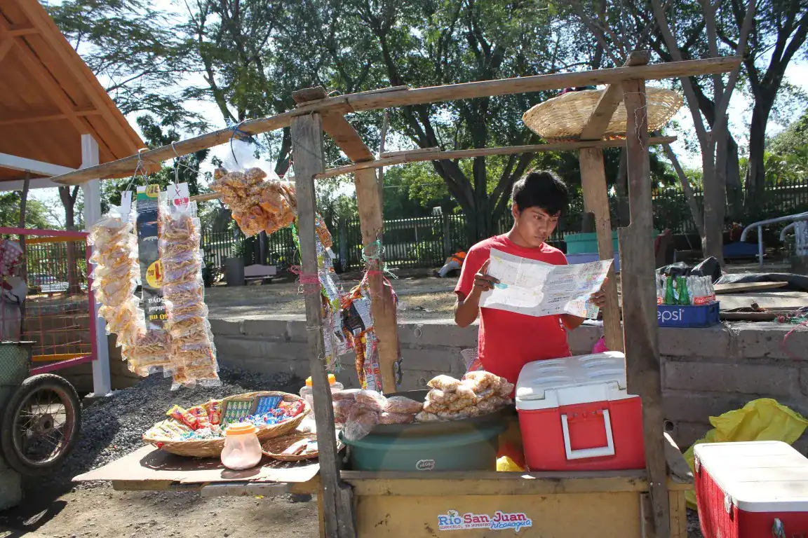
More than 150 volunteers participated in this community effort, surveying for three years the 45 routes of the city of Managua and Ciudad Sandino. In collaboration with Ninfus Design Studio, and thanks to a crowdfunding campaign supported by the Humanitarian OpenStreetMap Team, a printed map was designed and distributed in the city.
After a successful launch of the project, we gather again in 2019 to update the bus routes in Managua and expand the project, motivated by the work of other volunteers that already had started mapping other cities, achieving the collection and processing of several interurban routes and the public transport system of Matagalpa and Masaya.
The project was presented at the the State of the Map 2016 and has since been showcased by academia and media around the world. Most recently, it was included in the Venice Biennale, as part of the MIT’s Atlas of Popular Transport.
Visit the project